"All what needs to a traveler in Mongolia...Easily find places, guides, directions, info...."
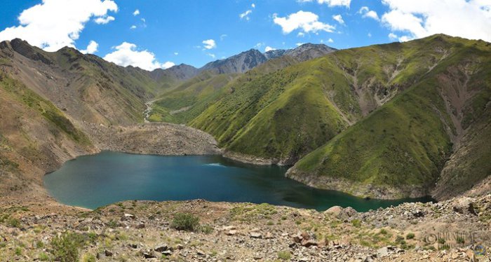
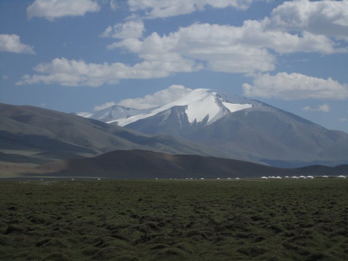
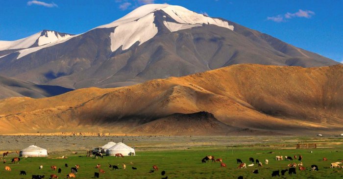
One of the highest peaks of Gobi -Altai mountain range is Great Bogd Mountain with an eternal snow cap elevated 3957m from sea level. Located in Gobi region however, it hosts teal green moss,
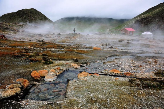
Shargaljuut hotsprings are located at Shargaljuut river at 1492m ele-vation from sea level. These wonderful hotsprings consist of 108 hot and cold springs which can treat 108 types of ailments. The
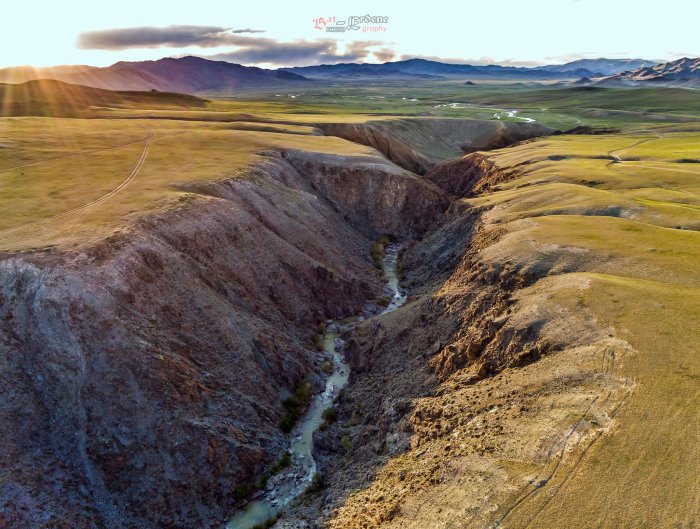
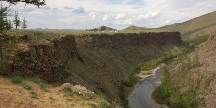
Galuut Canyon can get up to 400m deep and alternates in width between 3 and 200m, bounded by steep walls. The most narrow spot is formed by majestic water-falls during rainy season. Locals share a
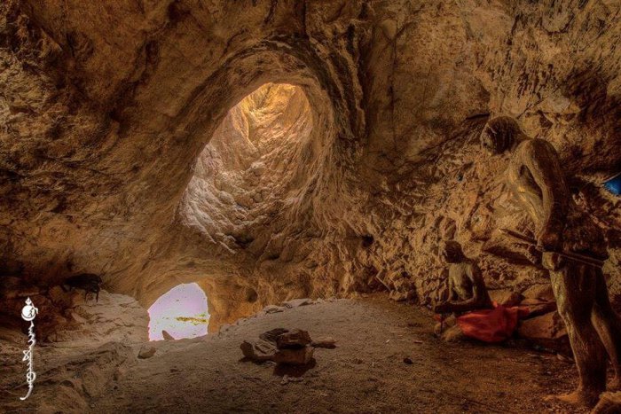
Mongolia and especially Bayankhongor aimag represent a place of the origin of humankind. In 1996, an American, Russian and Mongolian joint expedition found traces of hu¬man settlement in White Cave,
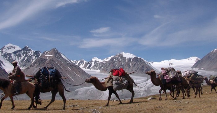
The sacred, snow covered Tsambagarav Mountain, 4208 meter (13,737 ft) height, located on the border of Bayan-Ulgii and Hovd Aimags. The Tsambagarav Mountain National park is known for stunning
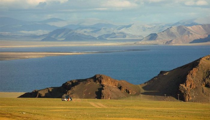
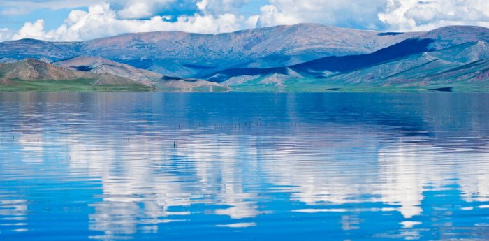
Tolbo Lake (Tolbo Nuur) is about 50km south of Ulgii, on the main road between Ulgii and Khovd city, so it's an easy day trip or stopover. The saltwater lake is high (2080m), expansive and eerie,
This stunningly beautiful park stretches south from Tavanbogd Mountain and includes the three stunning lakes of Khoton Lake, Khurgan Lake and Dayan Lake. It's a remote area, divided from China by
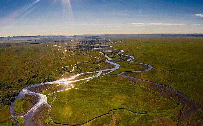
The Tamir River is a big river flowing from the Orkhon from the east. The northern part of the Tamir River is 180 km long, and the southern Tamir River is 165 km long. Separating these two sections
Suvraga Khairkhan Mountain is 3,117 meters above sea level and part of the Khangai Mountain Region. It is located in Thenkher soum of Arkhangai Province and surrounded by forests. The profile of the
Freshwater Terkh Tsagaan Lake is located near Khorgo Crater in Tariat Soum of Arkhangai Province (aimag). The lake originates from the Khangai Mountain Range in the north and the Terkh River to the
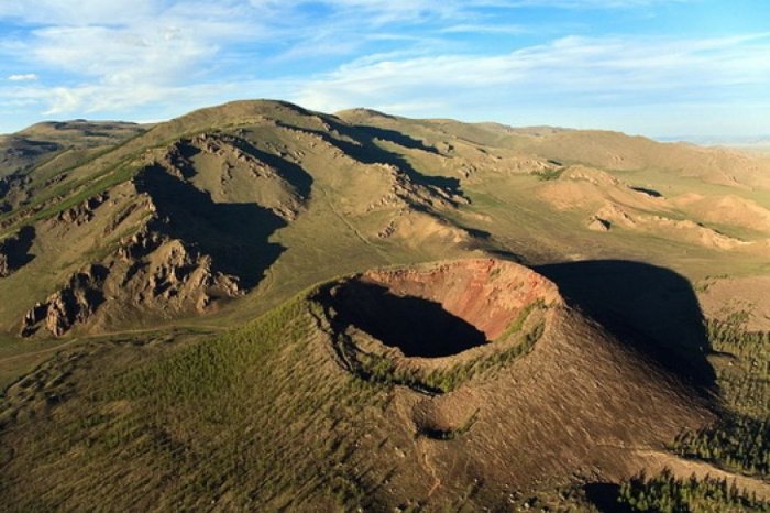
Khorgo crater ( Khorgo Togoo ) is located 180 km from Tariat soum in Arkhangai Province, at the edge of Terkh Tsagaan Lake was a volcano that erupted 8,000 years ago. It cover 50 square kilometers
Located in Arkhangai Province, the Chuluut River 415 kilometers long and covers 10,750 square km. This river pours from the tallest point in the Khangain Mountains, so it is one of the fastest